Circular routes Visit Luxembourg
Description
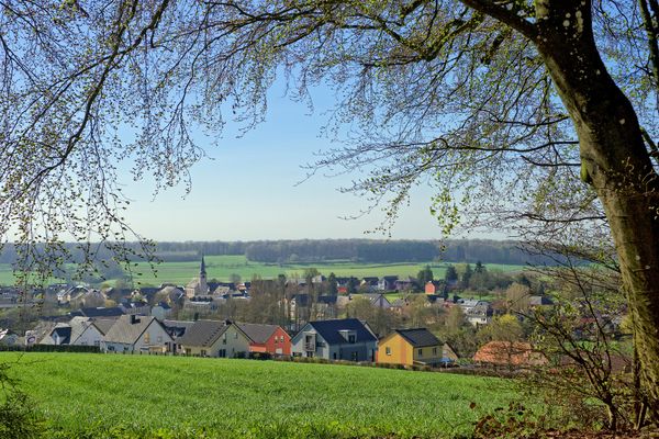
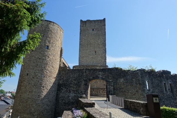
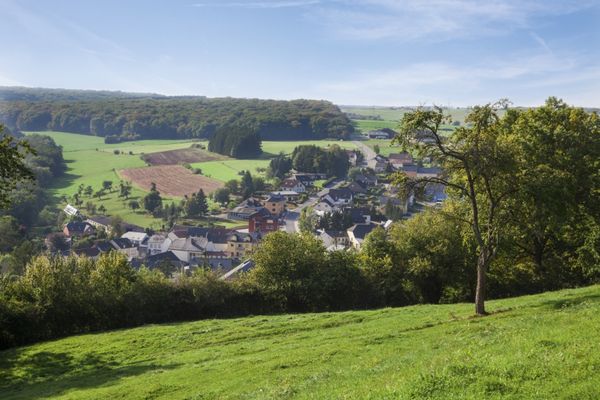
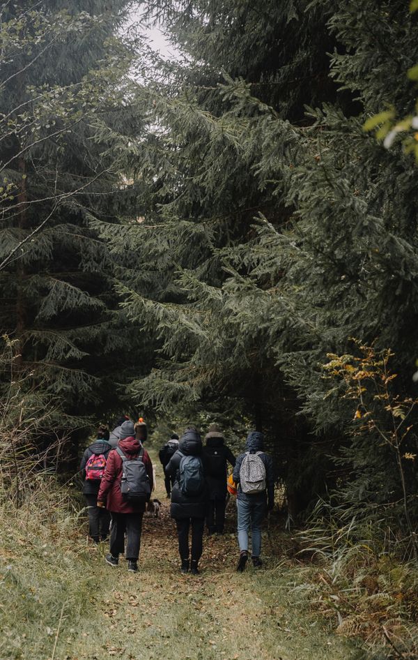
Circular walk Oetrange
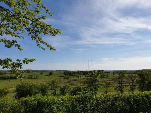
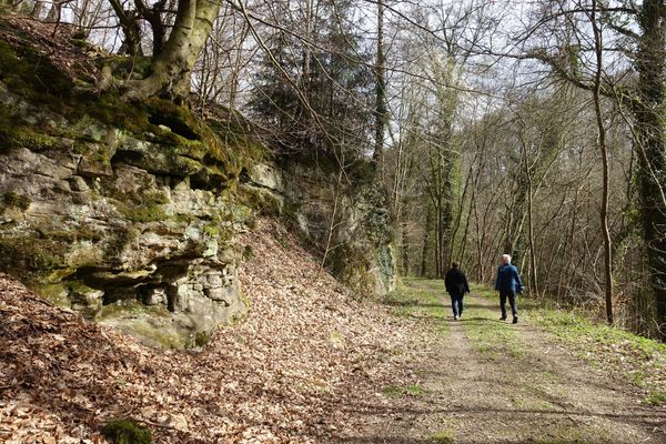
We leave the town in eastern direction and arrive at the former Roman road Kiem, which linked Lyon to the Lower Rhine. We follow the road and ramble across fields and pastures as far as the forest. After that, we go across the meadows in the direction of Moutfort and arrive at the starting point.
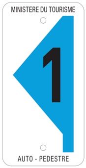
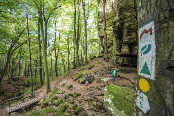
Signposting
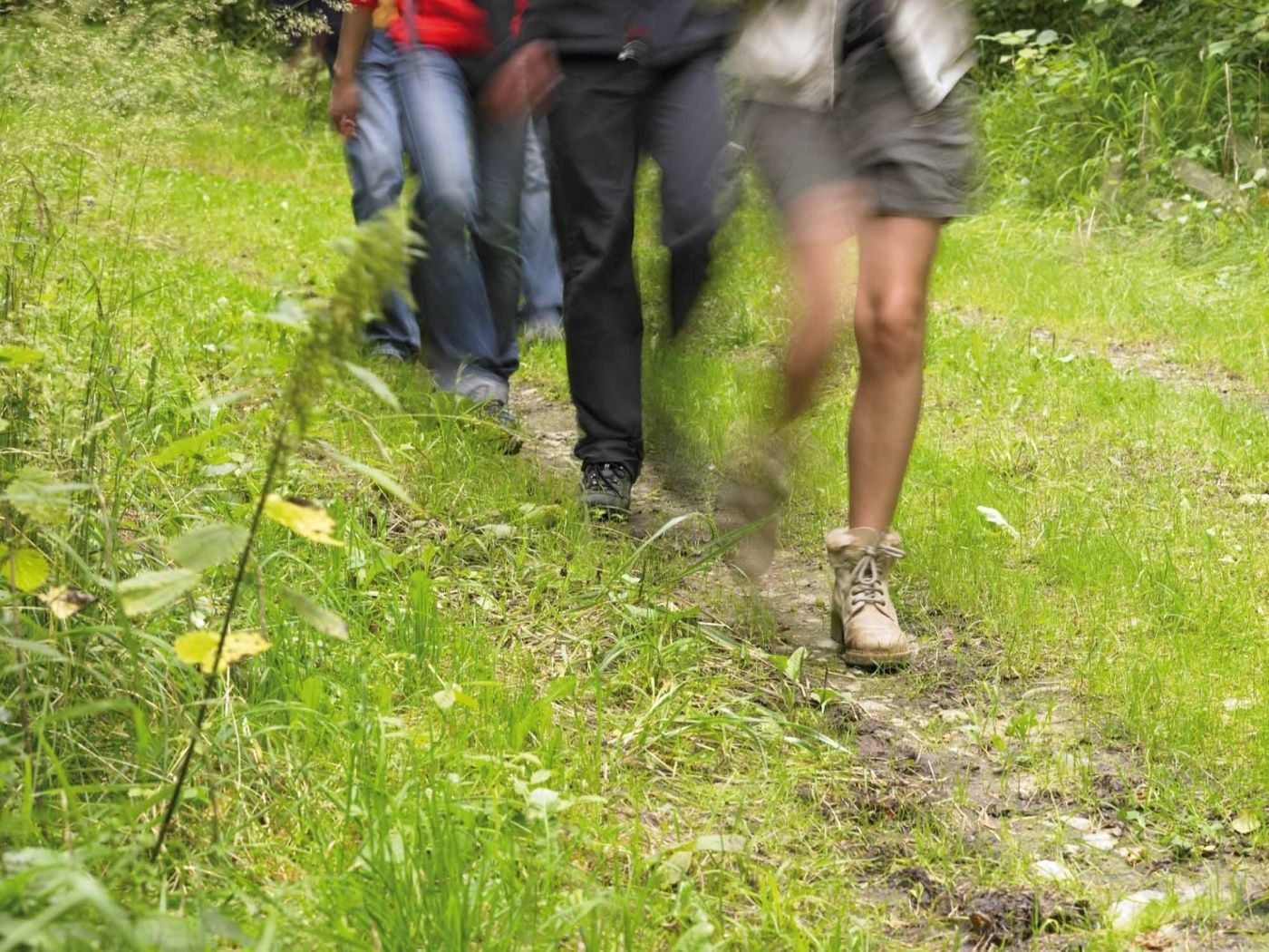
Equipment
Sturdy shoes and some water.
Journey
Public transport: Nearest bus station is: Oetrange, Gare routière
or train station Oetrange Gare
Parking: A parking place is located directly at the starting point.


 This website uses technology and content from the Outdooractive Platform.