© Visit Luxembourg
Guttland Germany France

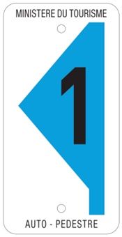
Auto-pédestre trail Tuntange

Starting point

Rue de Luxembourg in Tuntange (N12)

Destination

Rue de Luxembourg in Tuntange (N12)

Distance

6,79 km

Duration

1:54 h

Difficulty

easy

  • Condition

Highest point

352 Hm

Lowest point

254 Hm

Aggregated Ascent

140 Hm

Aggregated Descent

140 Hm

Circular routes Visit Luxembourg

Description

Circular walk Tuntange

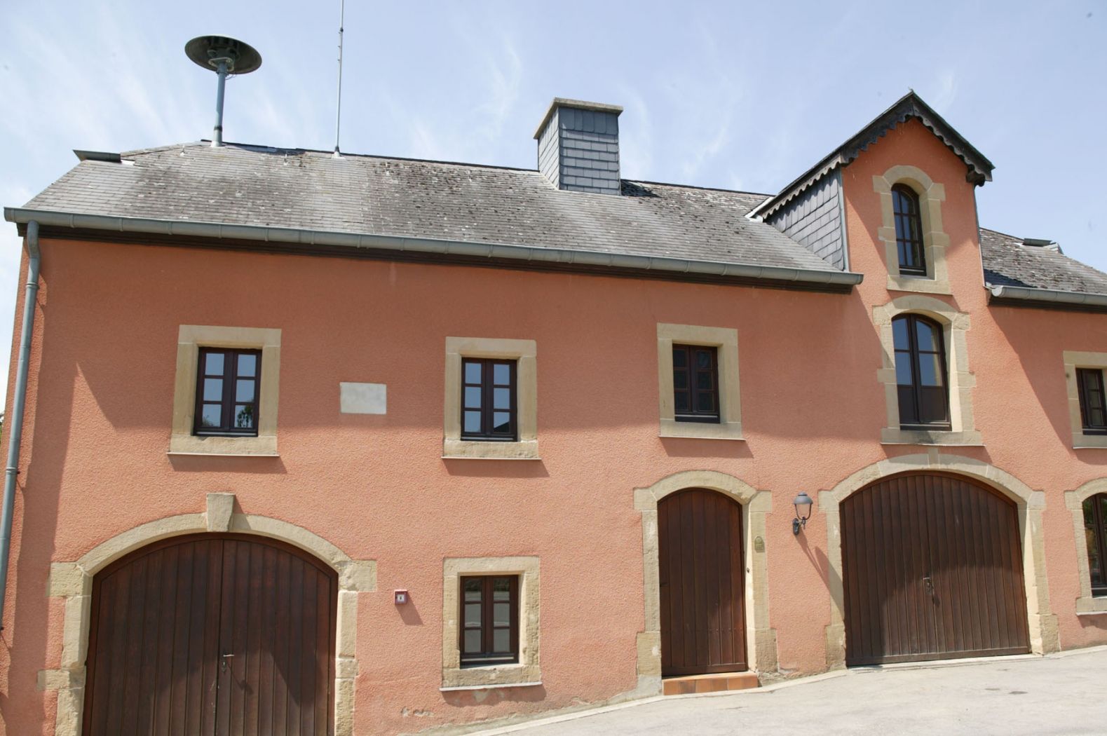
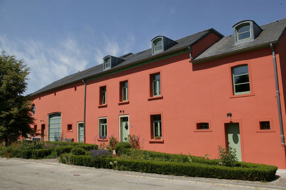
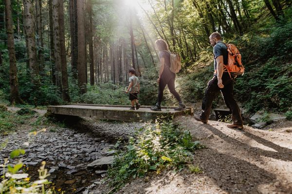
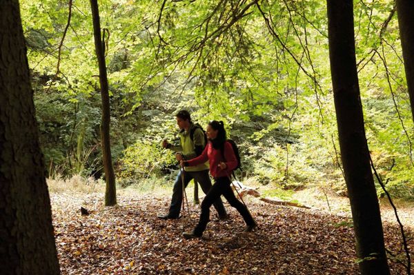
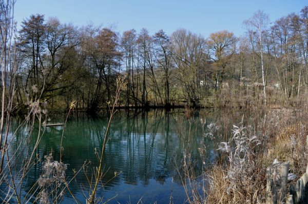
We leave the village and go south. We walk across fields and through forests, go past the chapel of Scheidel and head for the valley of the Eisch. We ramble across Bour and follow the edge of the Mariendallerbësch. We return to the starting point via the Kréckelsbierg and across fields.


Please make sure to enable your Cookies in case you don't see this content.

Contact

Address: Circular walk Tuntange
L-7480 Tuntange
Show on map

Similar hiking tours

© Jeniska Photography, Visit Guttland
Guttland.Trails
Guttland.Trail Biisser Weier

Distance: 9,04 km
Duration: 2:35 h
Difficulty: easy

Find out more
© Visit Luxembourg
Circular routes
Auto-pédestre trail Bereldange

Distance: 7,85 km
Duration: 2:15 h
Difficulty: easy

Find out more
© Visit Luxembourg
Circular routes
Auto-pédestre trail Beringen

Distance: 5,86 km
Duration: 1:46 h
Difficulty: easy

Find out more
© Visit Guttland, Visit Guttland
Thematic paths
Cultural walk Mertzig

Distance: 4,00 km
Duration: 1:05 h
Difficulty: easy

Find out more
© Visit Luxembourg
Circular routes
Auto-pédestre trail Eischen 2

Distance: 5,21 km
Duration: 1:34 h
Difficulty: easy

Find out more
© Visit Luxembourg
Thematic paths
Wassersënneswee

Distance: 2,74 km
Duration: 0:45 h
Difficulty: easy

Find out more
© Visit Luxembourg
Circular routes
Auto-pédestre trail Schuttrange

Distance: 5,07 km
Duration: 1:19 h
Difficulty: easy

Find out more
© Visit Luxembourg
Thematic paths
To bee or not to bee Bee educational trail Beckerich

Distance: 1,19 km
Duration: 0:18 h
Difficulty: easy

Find out more